
This page contains affiliate links. Far Cornel may earn a commission if you buy through them, at no extra cost to you.
See the top-rated gear on Amazon →
Quick answer: The strongest all-round pick is a dedicated topographic GPS with preloaded off-road maps and a bright, sunlight-readable screen — it keeps working long after phone coverage dies. Choose a rugged handheld if you navigate on foot as well as in the vehicle, a large touchscreen unit if you convoy and want big, glanceable maps, and a tablet-plus-external-antenna setup only if you already own the tablet and want maximum screen for the money.
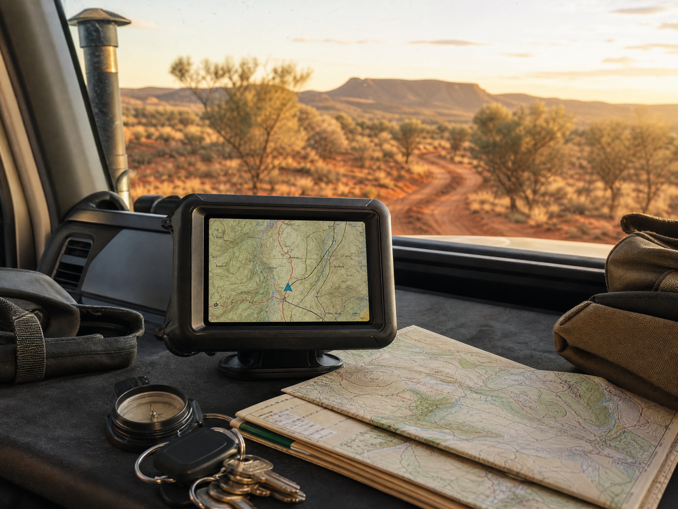
The first time your phone drops to “No Service” with 200 kilometres of dirt still ahead, you stop thinking of a GPS as a gadget and start treating it like a spare tyre. It lives in the vehicle, forgotten, until the afternoon it is the only thing telling you which of three unsigned junctions goes where you want. A dedicated unit earns its keep not because it is cleverer than your phone, but because it keeps running when the phone cooks on the dash or loses its fix in a gully.
The catch is that “GPS navigator” covers a huge spread, from a pocket handheld built for walkers to a 10-inch touchscreen that swallows half your dashboard. Brands like Garmin and Hema build units aimed squarely at off-road travel, with topographic maps, track logs and mounts that survive corrugations, while a cheap generic unit often ships with road maps that pretend the tracks you care about do not exist. This guide sorts the field into five clear types so you can match one to the way you actually travel.
Quick Picks
- Best overall: a dedicated topographic touring GPS with preloaded off-road maps.
- Best for on-foot and in-vehicle: a rugged handheld GPS you can pull off the mount and walk with.
- Best big screen: a large touchscreen navigator for easy glancing while convoying.
- Best value for screen size: a tablet paired with an external GPS antenna.
- Best compact backup: an entry-level handheld to sit in the glovebox as a spare.

How to Choose a Touring GPS
Two things decide whether a unit is any good off the bitumen: the screen and the maps. A screen you cannot read in harsh sun is useless, so look for a transflective or sunlight-readable display, 5 to 7 inches for a handheld or up to 10 for a dash unit. Bigger reads easier but eats dash space and wobbles on a poor mount. Insist too on genuine topographic mapping — tracks, contours, water points, camp areas — not a road atlas that goes blank once the seal ends.
Here is a myth worth busting: a dedicated GPS is not more accurate than a modern phone, since they share the same satellite systems. What it gives you is a screen that survives the sun, a fix that holds when the phone overheats, and maps that never need a signal. Treat the mount and power as part of the buy, too: bin the boxed suction mount, fit a vibration-damping bracket, and hardwire the unit rather than trust an accessory-socket plug that rattles loose on corrugations.
A touring GPS is only as good as its power and its mount, and this is where a careful hand earns its keep. A dash or windscreen unit should be hard-wired to a switched 12V source through its own inline fuse rather than left dangling off a cigarette socket that drops out over corrugations; run the cable tidily so it cannot foul the pedals, and fuse it close to the supply. A handheld is happiest on internal lithium cells with a USB lead as backup — heat on a black dash flattens batteries and dims screens, so mount it where air moves rather than baking against the glass.
Two technical points separate a unit you trust from one you argue with. First, look for multi-constellation reception (GPS plus GLONASS and Galileo) — more satellites means a faster, steadier fix under tree cover and in gorges where a single-system receiver wanders. Second, the maps live on the device: buy one with genuine preloaded topographic mapping stored locally, because the whole point is that it keeps working when there is no data signal to fetch a tile. And never run a single device as your only plan — a paper map and a charged satellite communicator are the backups that matter when the screen finally goes dark.
The GPS Navigators
Check today’s prices on Amazon →
Dedicated topographic touring GPS
This is the unit most tourers should start with. A purpose-built touring GPS ships with off-road maps loaded, a daylight-tuned screen, and software that understands tracks and trip logging, not just street directions. Units in the mould of the Garmin Overlander or a Hema Navigator sit here: mount it, load your route, and it works with no phone tethering. It is the one I would put in a first-timer’s vehicle because it works straight out of the box. See what the dedicated topo touring units are going for
Rugged handheld GPS
If your trips mix driving with walking — scouting a track on foot, marking a camp away from the vehicle — a rugged handheld comes with you when the vehicle stays put. Something like a Garmin GPSMAP handheld runs for many hours on lithium cells, shrugs off drops and dust to an IP67 rating, and records a breadcrumb trail you can follow back out. The screen is small, so you trade big-map comfort for genuine portability, which is exactly the point. Compare the rugged handheld GPS units
Large touchscreen dash navigator
When you lead a convoy or want to read the map without leaning in, a large 7 to 10 inch touchscreen makes junctions obvious at a glance, and the touch interface suits people who dislike button menus. The trade-offs are real: it dominates the dash, needs a solid mount to stop the wobble, and a big bright screen pulls more current, so plan the wiring. Worth it if map clarity is your priority. Look at the large touchscreen dash navigators
Tablet with an external GPS antenna
Plenty of experienced tourers skip a dedicated unit and run a rugged tablet with a mapping app and a separate GPS antenna. You get an enormous screen for the money and software you can update easily, and the external antenna gives a steadier fix than the tablet’s internal chip. The honest downside is heat: tablets hate a hot dash and will throttle or shut down, so you need shade, a cooling mount, and a bracket that holds firm. This route rewards people who tinker and already own the tablet. Check the tablet external GPS antennas
Compact entry-level handheld
The small, cheaper handhelds get dismissed, but as a backup they make a lot of sense: one in the glovebox means you are never completely blind if the main unit or the tablet dies. They cover the basics — position, a track log, waypoints — on a modest screen and a set of AA cells. Be honest about what it is, though: a spare and a walking companion, not the only navigation you want on a remote trip if something better is in budget. Weigh up the entry-level handhelds on price

Comparison
| Type | Best for | Screen | Watch-out |
|---|---|---|---|
| Dedicated touring GPS | Most tourers | Bright, mid-size | Pricier than a phone app |
| Rugged handheld | Driving plus walking | Small | Fiddly for big maps |
| Large touchscreen | Convoy leaders | Very large | Eats dash space and power |
| Tablet + antenna | Screen on a budget | Largest | Overheats without shade |
| Entry-level handheld | Glovebox backup | Small | Basic maps and features |
Frequently Asked Questions
Do I really need a dedicated GPS if my phone has offline maps?
If you stay where there is coverage, probably not. Once you are consistently beyond signal, a dedicated unit wins on the things that matter off-road: a screen you can read in full sun, a fix that does not drop when the phone overheats, and maps that never rely on a network. Plenty of people run both and treat the phone as the backup.
What maps should it have for off-road travel?
You want proper topographic mapping with tracks, contours, water points and camp areas, not a street atlas. Check whether the maps are preloaded and how updates work — Wi-Fi updates are far less painful than plugging into a computer — and whether you can add extra map sets later.
Is a bigger screen always better?
Not always. A big screen is easier to read but harder to mount securely, takes over the dash, and draws more power. A 7-inch unit on a rock-solid bracket often beats a 10-inch one that wobbles. Match the size to where it can sit firmly without blocking your view.
Will a GPS call for help in an emergency?
No. A navigator shows where you are; it cannot send a distress signal. For that you need a satellite communicator or a personal locator beacon, which do a different job. On genuinely remote trips, carry both a navigator and a way to call for help.
The Bottom Line
Buy for where your phone gives up, not for the longest feature list. A dedicated topographic touring GPS is the right call for many people a rugged handheld earns its place if you navigate on foot too, and a tablet-and-antenna setup makes sense if you already own the tablet and will manage the heat. Whatever you choose, spend the extra on a solid mount and hardwired power — the smartest unit is worthless if it shakes loose or shuts down halfway down a rough track.
For more of your touring setup, see our guides to UHF radios and satellite communicators and PLBs, and pack a proper 4×4 recovery gear checklist before heading remote.